Measuring Impact and Managing Change in the Oxford to Cambridge Arc
 Melissa Conway
Developing the methodology for assessing sensitivity at the earliest stages of major landscape change.
Introduction
In the Government’s spring budget of 2016, the National Infrastructure Commission was tasked with investigating potential infrastructure needs and the economic case for maximising the benefits of the Oxford – Milton Keynes – Cambridge ‘knowledge-based cluster’, referred to as the Oxford to Cambridge Arc (hereafter 'the Arc'), and providing recommendations on growth to Government. The kinds of change envisaged include new and upgraded rail links (East-West Rail), strategic road network upgrades, new or expanded towns and villages and industrial/commercial hubs. Options for such development began to emerge in 2018 and many are still being refined.
However, these early options lacked meaningful consideration of the historic environment. In response, in 2020 Historic England commissioned LUC to develop a methodology for measuring the impact of the potentially transformative change on the corridor’s historic character and assets. The resulting project, Measuring Impact: Managing Change (hereafter ‘the project’), seeks to embed consideration of the historic environment in the early stages of the planning of change within the Arc so that extensive harm to significant heritage assets is avoided and, where possible, opportunities to enhance them are identified.

How is this being done?
The project aims to establish a strategic-level baseline understanding of the sensitivity of the historic environment in different parts of the Arc to large-scale development in order to ensure that decisions on growth are well informed about the potential impact of proposed change. It does this by undertaking a rapid, but comprehensive, review of existing historic environment data and other relevant evidence to map the sensitivity of the historic environment throughout the Arc.
Areas with coherent historic environment characteristics are defined as Historic Environment Character Areas (HECAs). The size of these can vary considerably depending upon the nature of the landscape and the historic environment resource, with rural Historic Environment Character Areas s tending to be larger than those in urban areas.
A Historic Environment Character Area’s ’s sensitivity is considered against four aspects: above- and below-ground heritage assets, historic landscape and setting. Each Historic Environment Character Area is assigned sensitivity levels for each aspect, supported by a short narrative explaining the qualities which underpin the level ascribed. An 'overall' sensitivity level is also ascribed to each Historic Environment Character Area to indicate its key aspects. Each sensitivity level is assigned a level of certainty so that users can understand where knowledge of a Historic Environment Character Area is relatively secure and where it is not. The sensitivity values include the option to record that there is no data for an aspect. This helps flag areas of greatest uncertainty which, potentially, present significant risks in planning land-use change because they are 'unknown unknowns' and are obvious targets for further research.
In developing the methodology, rather than reinventing the wheel, the project team has been keen to stand on the shoulders of previous attempts to consider sensitivity at a large scale.
The last wave of such studies involved the growth areas of the early 2000s, including the Thames Gateway and the London-Stansted-Cambridge Corridor. These studies predate the more holistic approach to the historic environment brought in by Planning Policy Statement 5 in 2010 and preserved in the current National Planning Policy Framework, which removed the distinction in planning policy between whether a heritage asset is an archaeological site/feature or a standing building/structure. The earlier studies also lacked the more consistent approach to setting enshrined in Historic England guidance from 2011 onwards.
Despite this, there was much to draw on from earlier work. The project's sensitivity levels are based upon those used by the Thames Gateway studies (2005). These required only limited adaptation to reflect the changed language around assets, impacts and setting used today, and were considered robust since they had already been through significant stakeholder consultation in their development and detailed public scrutiny in planning examinations. The project employs the definition of sensitivity adopted in the Thames Gateway work, which related it to major physical change with the potential to significantly alter a defining aspect of a Historic Environment Character Area . In a rural area this might be developing fields into a housing estate or solar farm. In urban areas this might be something which changes building stock and land use (i.e. residential to commercial), such as redevelopment of a market area to a residentially-driven mixed-use development.
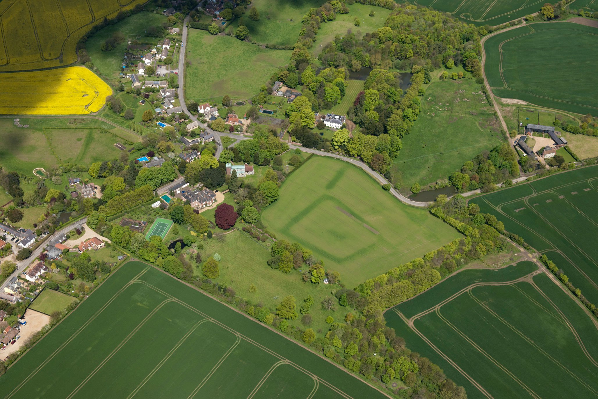
The images in this article cover land around Great Chishill and Heydon in South Cambridgeshire, and reflect how differing concerns, such as protection of historic settlement cores, standing earthworks, sub-surface archaeological remains and the modernising effect of recent land use, need to be balanced.
The maps show this area divided into Historic Environment Character Areas and illustrate how differing levels of sensitivity can be measured against the four different aspects (in all cases, the darker the colour, the greater the level of sensitivity). Sometimes sensitivity can be similar across all four aspects because proposed change would threaten each equally. An example would be a historic settlement core with well-preserved historic building stock and plot patterns (forming one Historic Environment Character Area) adjacent to a historic park (another Historic Environment Character Area): historic buildings, buried archaeology, landscape and setting would all be equally sensitive to a proposed change such as the development of a new town.
At first glance the areas shown in the figures look fairly coherent, with each village surrounded by fields, but closer examination indicates significant variation in both above-ground heritage assets and the historic landscape. For example, Great Chishill has a greater level of fringe expansion so is split into two Historic Environment Character Areas. That covering the historic core – a conservation area containing numerous listed buildings – has higher sensitivity (purple) and the other, the more modern outer fringe, is assessed as less sensitive (orange).
Above-ground assets in the surrounding landscape are limited to the Heydon Ditch, an early medieval land division and scheduled monument which runs northwest from Heydon, and listed buildings at current and former farms to the northwest of the villages. The Historic Environment Character Areas are assessed to reflect the potential impact of change. Those around the Heydon Ditch have a greater level of sensitivity (pink), while the adjacent fieldscapes generally have a similar and lower level of sensitivity as they are 20th century and later modifications to 19th century planned and post-medieval piecemeal enclosures (orange).
There is also significant variation in terms of known or potential buried heritage assets. Most of the land west of Heydon, including the village and Heydon Ditch, has a greater density of known assets, many identified though cropmark transcription or considered to have heightened potential by virtue of documented settlement since the early medieval period. These have a greater level of sensitivity (pink) than other Historic Environment Character Areas in the area (orange).
In setting terms, much of the area is relatively sensitive (orange) as most Historic Environment Character Areas border ones which contain designated heritage assets with sensitive settings.
Overall sensitivity is assigned on the basis of which aspects of the Historic Environment Character Area are most sensitive and is intended as a flag to highlight what is most crucial to understand about the Historic Environment Character Area as part of a consideration of large-scale change.
What are the project outputs?
The project is nearing completion and its key end products will be:
Sensitivity mapping and supporting texts for the project area, for use by Historic England and local authority planners;
Historic England Research Report explaining the project methodology and results.
The report and mapping will include clear definitions of sensitivity levels and usage guidelines so that the outputs are used appropriately, that is as a preliminary assessment rather than a definitive statement of the significance of the historic environment across the Arc.
What other benefits will the project have?
Technology, especially in GIS, has advanced since the early 2000s growth area studies, but nevertheless the Project has encountered significant methodological and data-use challenges. A key element of this has been resolving interoperability of data across the 11 Historic Environment Records in the project area. The challenges have been resolved by the Project team working in close consultation with Historic England and other stakeholders to agree changes to methods and reporting. As such, there is a rich range of lessons which can be applied in future strategic work, and the detailed methodology can be adopted and perhaps developed further by the historic environment sector.
One of the key methodological challenges for the project has been the usability and currency of data on the historic environment, whether designations data maintained by Historic England or local datasets, such as Historic Environment Records and local lists. Issues with these included differences in how the Historic Environment Records recorded similar aspects of the historic environment and inconsistency in applying monument thesauri. These made it hard to develop rule-based approaches to understanding sensitivity and meant that a lot more individual interpretation by project team members was required. Lessons learned from this process will also be valuable to those considering the development of a more automated and/or artificial intelligence-based spatial planning system.
Crucially, however, the Project demonstrates that it is possible to combine diverse datasets and specialist interpretation to create a strategic understanding of the sensitivity of all facets of the historic environment and support regional-level land-use planning.
The rapid, high-level assessment of sensitivity permits issues affecting the historic environment to be considered at the earliest stages of planning major landscape change.

Further information
-
Thames Gateway Historic Environment Characterisation Project: final report
A rapid strategic characterisation of the historic environment of the whole Thames Gateway area, from Southwark in London, to Southend-on-Sea in Essex and Faversham in Kent.
Download in PDF Format
You can download this article along with the others in this issue as a PDF magazine.


