Data and the Historic High Street
 Alphaeus Lien-Talks
Lessons from the High Streets Heritage Action Zones
History is important to us all, and through research we can ensure that the information we generate is accessible for future generations.
History can also help us plan for better future communities by providing insights into how past societies have organised themselves, addressed social and economic challenges, and navigated political systems. By studying past communities, we can learn from their experiences and make informed decisions that promote the well-being of our own communities. Additionally, understanding historical patterns of social and economic development can help us to identify opportunities for growth and development in the future.
The High Streets Heritage Action Zones
The challenges faced by traditional High Streets across the country regularly make media headlines - from changing retail habits, including the rise of online shopping, to the decline of big chain stores. As previous editions of this Research magazine have noted, while vacant properties, especially closed department stores, remain an issue, it is important to acknowledge the positive transformations taking place. Many high streets are being re-invented to embrace diverse uses, including the promotion of town-centre living. Initiatives such as High Street Heritage Action Zones are addressing these challenges and new directions in innovative ways. However, this unprecedented intervention and activity in our urban heritage also raise important questions about the data being generated by these projects and what might happen to it in the future.
Initiatives such as High Street Heritage Action Zones are addressing these challenges in innovative ways, but this unprecedented intervention and activity in our urban heritage raises some important questions about the data being generated by these projects and about what might happen to it in the future.

My research
What do we mean by data? Why is it important that we think about it now? And what role can archaeologists play in identifying how data can have long-term value? These are the questions being addressed in my current PhD project in collaboration with Historic England’s Geospatial Survey and Architectural Investigation teams in York and colleagues at the University of York’s Archaeology Data Service.
What is data?
Archaeology sits at the interface of heritage and development, and archaeologists generate vast quantities of data, from geophysical evidence from activities such as ground-penetrating radar surveys, to excavation records, standing building surveys, photographic records and archival research.
Heritage statements and ‘grey literature’ reports are uploaded to planning portals (an online platform that provides access to information and services related to the planning and development process in a particular area or region) and, if required, to Historic Environment Records (which serve to keep a comprehensive and accurate record of heritage assets in a region to inform and facilitate the management of heritage resources).
Yet archaeologists also use data generated by other stakeholders - records made by utility companies, architects and developers’ plans, local history and community groups’ oral histories and research projects - and of course, data from previous archaeological interventions in the historic environment.
What can we do to look after data?
Today, much of this material is being created or saved in digital formats which can quickly become inaccessible, as software is updated and systems change. For over 25 years, the Archaeology Data Service at the University of York has been leading initiatives to encourage good practice in the long-term preservation of digital data, working alongside organisations such as the Digital Data Preservation Coalition, research councils and Historic England.
The aim is to identify and develop areas in which guides to best practice are needed, supplementing existing documentation such as those found in Historic England's advice section to ensure that the data created by research and development projects can be easily found, accessed and reused by different stakeholders, not only during a project but also after it has ended.
Why does this matter?
Data created during research and development projects has the potential to inform our understanding of the historic environment, helping to make evidence-based decisions about future changes to it.
Many of the High Street Heritage Action Zone projects have involved gathering oral histories, photographs and memories from residents to support placemaking and creating an important community asset for future generations. Ensuring that this material is deposited physically or digitally ensures that it can be found and shared and prevents it disappearing on a redundant website. This is important, as it means that future stakeholders can reuse rather than repeat this work.
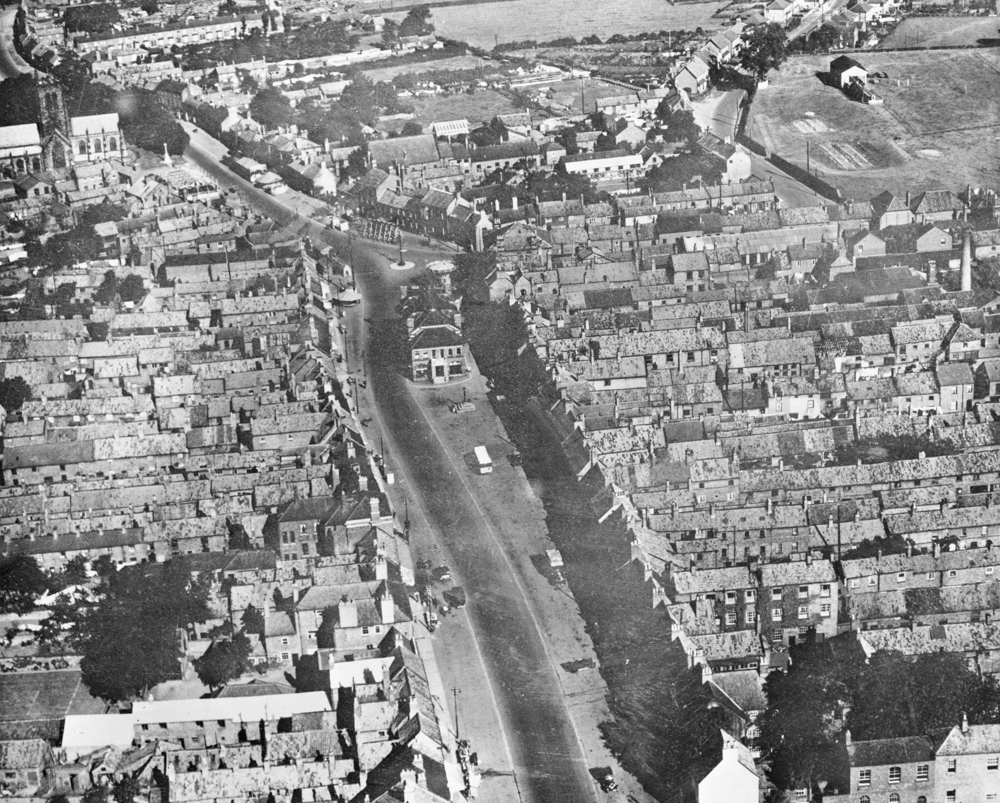
The High Street Heritage Action Zone projects provide me with an opportunity to explore how these principles are working in practice, through a series of case studies. My first case study has been Northallerton (North Yorkshire).
Northallerton
Northallerton is the county town of North Yorkshire and its High Street Heritage Action Zone project has been led by Hambleton District Council. The project has involved physical improvements to the historic streetscapes, renovation of historic shop fronts, a programme of community consultation, and oral and local history projects. Various digital initiatives have visually reconstructed lost sites such as the Bishop’s Palace and the historic marketplace in an augmented reality experience (a way for visitors to use their smartphones to see virtual information about the history of the area overlaid onto the real world creating an immersive experience of the town's heritage), printed heritage trail and interactive Heritage Hub (accessible to all, local and visitors, alike to discover and share the local heritage).
Sharing and reuse of information
What has emerged from a close analysis of this case study is a sense of the diversity of data being used, reused and shared between project partners.
LiDAR data (a technology that uses lasers to create 3D maps of the environment by measuring the time it takes for the light to bounce back), maps, photographs, historic diaries, letters, bills and invoices, digital sound files and newspapers have all been gathered, as well as existing local history studies and archaeological reports.
The project has yielded great examples of data sharing and reuse, especially between those producing digital outputs of visualisations (CGI images and videos that illustrate the proposed changes and improvements to the buildings and streetscape in the Heritage Action Zone area, allowing stakeholders and the public to visualise the potential outcomes of the heritage-led regeneration project) and the augmented reality heritage trail.
Thanks to Community Engagement Lead for the Heritage Action Zone programme Virginia Arrowsmith, there has also been a strong commitment to ensuring that the Northallerton project website is secured for future years by negotiating longer-term data deposition agreements with the North Yorkshire County Record Office. This should ensure that the digital as well as the physical legacy of the project lasts well into the future, and this must be signposted to ensure it remains reusable and accessible.
The value of historic High Street community and digital data
The Northallerton case study has raised important questions about how long-term preservation and archiving of data is thought about during the commissioning, tendering and procurement of major projects with diverse stakeholders and data sets.
What is clear is that the data being created in places and projects like Northallerton is of great value for understanding the stories of people and communities at grassroots level, so that conservation and protection reflects local values.
I hope that sharing examples such as Northallerton through my research over the next few years will prompt useful questions about how good data management practices can be implemented on the ground, ensuring that initiatives such as the High Streets Action Zones leave a strong and accessible digital as well as physical legacy to help with the conservation and management of the historic environment.
Acknowledgments
Within this work, I would like to thank my supervisors Dr Kate Giles, Kieron Niven, David Andrews and Simon Taylor for their unending support. I would also like to thank Hambleton District Council, Heritage360, York Archaeology, PEEL X and Virginia Arrowsmith for their support and advice during my research and the project.


