Atlas of Rural Settlement in England GIS
The maps of 19th century settlement and terrain from the Atlas are now available as data that can be used in Geographic Information Systems (GIS) software and viewed in ‘geobrowsers’ like the Google Earth mapping service.
What is the Atlas of Rural Settlement GIS?
Brian Roberts and Stuart Wrathmell’s An Atlas of Rural Settlement in England is a key point of reference for understanding the development of rural settlement in England.
The maps in the original, printed Atlas were produced digitally, but were created as graphics files which cannot be used in GIS or similar software.
GIS is now widely used in the management and study of the historic environment. Many people have access to ‘geobrowser’ software like Google Earth. There is also a rich and steadily growing array of spatial data relating to the development of England’s landscape.
We want to make it possible to use Roberts and Wrathmell’s results in current, spatial applications. Our aim is to enable more effective re-use of the information in the Atlas.
How do I use the Atlas?
The GIS data is available in two formats:
- Esri Shapefile and
- Google/Open Geospatial Consortium KMZ (compressed or ‘zipped’ Keyhole Markup Language).
These can both be downloaded from the foot of this page.
The Shapefile format can be read by most leading proprietary and open-source GIS applications.
Recent versions of many CAD (Computer-Aided Drafting/Design) software packages can read Shapefiles as well. Shapefiles can also viewed in free GIS ‘data viewers’ such as Esri’s ArcGIS Explorer.
The KMZ format is most often viewed in ‘geobrowser’ software such as the Google Earth mapping service. Esri’s ArcGIS Explorer can also read KMZ files. We hope that making the data available in a format usable by those who do not have GIS software will make the Atlas materials more widely accessible.
Prof Brian Roberts (Durham University) supplied copies of the original graphics files he produced for the printed Atlas. We converted the files into georeferenced data ready for use in GIS and ‘geobrowser’ software.
We also prepared detailed documentation and metadata (ie, data about the data). The documentation and metadata describe the various layers in the data collection and the processes by which the graphics files were converted.
We strongly encourage anyone who wants to use the data collection to read the documentation carefully in order to understand the origins, contents, strengths and weaknesses of the data.
The benefits of the Atlas
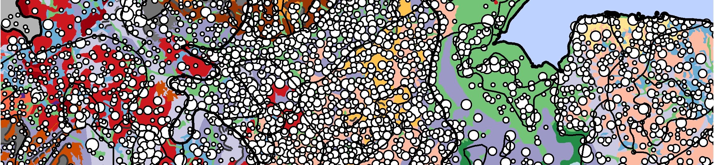
With the key maps from the Atlas in GIS-enabled form, it becomes possible to look at Roberts and Wrathmell's materials in new ways. An article by Andrew Lowerre, in the journal Landscapes, presents some exploratory analyses and re-visualisations of the data.
The greatest benefits of having the Atlas materials in a GIS-compatible form will come from combining the Atlas GIS with other spatial data.
For example, data created as part of Historic England’s National Mapping Programme can be used to examine past field patterns or evidence of settlement not recorded on the source maps Roberts and Wrathmell used.
The Atlas GIS will also help provide a national framework for Historic England’s work on Historic Landscape Characterisation. Materials from research focused on regional or local scales can be more easily related to the national picture. Some examples include Historic England’s work on Protected Landscapes or from the Whittlewood Project.
The Atlas of Rural Settlement in England GIS data collection is made up of a number of different elements:
- Spatial and attribute data, in Esri Shapefile and Google/Open Geospatial Consortium KMZ
- Text and figures for the settlement province and sub-province descriptions from the original printed Atlas (in PDF format)
- ArcGIS ‘layer’ definition files and an ArcGIS map document – compatible with ArcGIS versions 9.0 and above – depicting the shapefiles in the data collection; these symbolisations were used when creating the KMZ files
- UK GEMINI version 2.1-compliant discovery level metadata in XML format for the spatial and attribute data
- A data dictionary (in PDF format) detailing attribute field names, suggested aliases and descriptions of the types of data held in each field
- Documentation (in PDF format) detailing the nature and limitations of the data in the data collection and the processes by which the data and accompanying metadata were created

How do I download the Atlas?
You can download the data, metadata and documentation from this page. To make downloading the data collection as straightforward as possible, it is supplied in compressed or ‘zipped’ files. You need appropriate software on your computer to un-compress the downloaded files before you can use the data.
There are two different ZIP files available: one contains the spatial and attribute data in Shapefile format, the other contains the data in KMZ format. Please make sure you download the ZIP file containing the data in the format appropriate for the software you intend to use. Both ZIP files include the province and sub-province descriptions from the original printed Atlas, the metadata and the documentation.
All of the Historic Environment Records (HERs), Sites and Monuments Records (SMRs) and Urban Archaeological Databases (UADs) in England using GIS software also have copies of the Atlas GIS data collection. You may be able to look at the data at your local HER. You can find the address of your local HER on the Heritage Gateway list of HERs.
Terms & conditions
You may use the data collection downloadable from this web page subject to the following terms and conditions:
- Title, copyright and all other proprietary rights in the data, metadata and documentation remain vested in Historic England, Brian Roberts and Stuart Wrathmell
- Historic England does not guarantee that the data are free of errors; users of the data should check it against other sources before relying on it
- Historic England cannot be held responsible for any decisions made on the basis of this data or for any products or services derived from it
- You accept the data as delivered; Historic England does not guarantee the data will be suitable for use with any GIS or any other computer software
- You are authorised to download the Historic England data from this page for personal and business use
- The data must not be used for purposes which may lead to damage to archaeological sites, historic buildings and landscapes
Questions or problems?
If you have any questions about the contents of the data collection, discover any problems or errors, or would like to share how you have used the data, please contact Andrew Lowerre via the email address given in the contact block below.
Please understand that it will not be possible to provide detailed guidance on the use of specific GIS or ‘geobrowser’ software.
References
Roberts, B K, and Wrathmell, S, An Atlas of Rural Settlement in England, corrected reprint edition, English Heritage, 2003
Andrew Lowerre
Archaeologist: Spatial Analysis-
Email
[email protected]
-
Address
Fort Cumberland,
Fort Cumberland Road,
Portsmouth,
P04 9LD


